
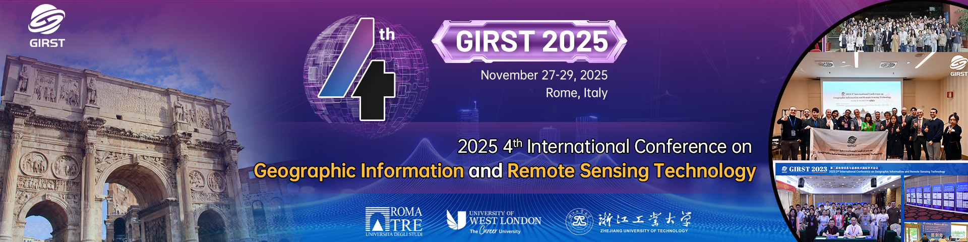
| Welcome to GIRST 2025 2025 4th International Conference on Geographic Information and Remote Sensing Technology |
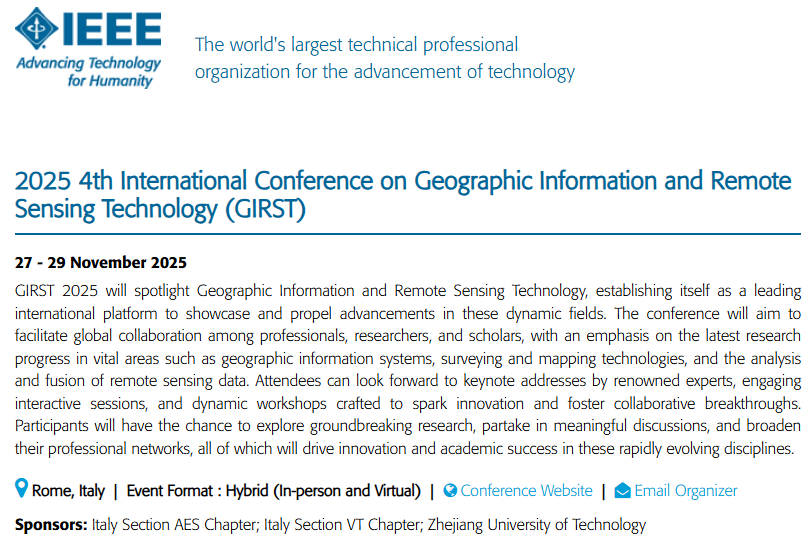
2025 4th International Conference on Geographic Information and Remote Sensing Technology (GIRST 2025) will be held on November 27 to November 29, 2025 in Rome, Italy. GIRST 2025 is to bring together innovative academics and industrial experts in the field of geographic information and remote sensing technology to share their latest research findings and exchange their insights on the development of the related disciplines. We cordially encourage past and aspiring authors to submit their works to GIRST 2024 so that you can share your insightful research experiences with fellow academics and scientists worldwide.
Online by IEEE:https://conferences.ieee.org/conferences_events/conferences/conferencedetails/67753
Important Dates |
Final Paper Submission Date: November 20, 2025
Conference Dates: November 27-29, 2025
Call For Papers |
The topics of interest for submission include, but are not limited to:
◕ Geographic Information
◔ Geo-geological Information
◔ Geohazards & Earthquake engineering
◔ ...
◕ Surveying & Mapping
◔ Surveying and Mapping
◔ Marine Mapping
◔ ...
◕ Remote Sensing Technology
◔ Remote Sensing
◔ Optical Remote Sensing
◔ ...
For details, please click here. |
Publication |
All papers will be reviewed by two or three expert reviewers from the conference committees. After a careful reviewing process, all accepted papers will be published by IEEE and will be submitted to IEEE Xplore, EI Compendex, Scopus for indexing. (ISBN: 979-8-3315-5267-1)
*The conference will recommend a variety of publication types, including conference proceedings(EI), SCI journals. If you need translation and retouching services, please contact the conference secretary. Scholars are requested to strictly abide by academic norms and ethics, and not to publish repeatedly or submit more than one manuscript.
Conference Info.


Sponsors
 |  |  |
Technical Co-sponsors
 |  |  |